Area of Interest
An area of interest is a polygon that can be drawn on the map, saved and reloaded. The areas of interest tab is always available in the data table.

Drawing the Areas
The drawing tool is accessible by clicking on the ![]() icon:
icon:
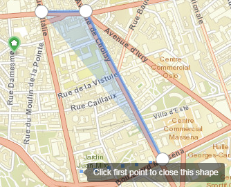
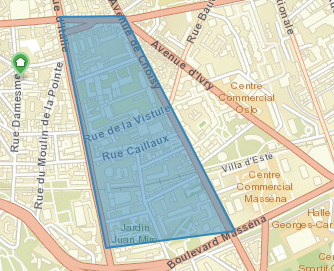
- Click on the map to draw a polygon
- Click on the first point to close the polygon and finish the drawing
 |
 |
| Drawing in process | Drawing finished |
Once completed, the zone is available in the list:

Tools
For each of the area of interest it is possible:
- to change its visibility on the map by activating, or not, the checkbox in front of the name
- to modify its name and description
- to change its color
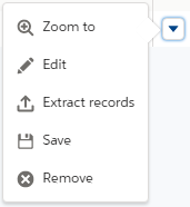
Another menu of actions is available by clicking the ![]() icon, and allows:
icon, and allows:
- zooming on the area
- modifying it
- extracting the objects to make a working layer
- save it
- removing it from the list
- deleting it (option available only if the layer was saved)

Loading of an Area
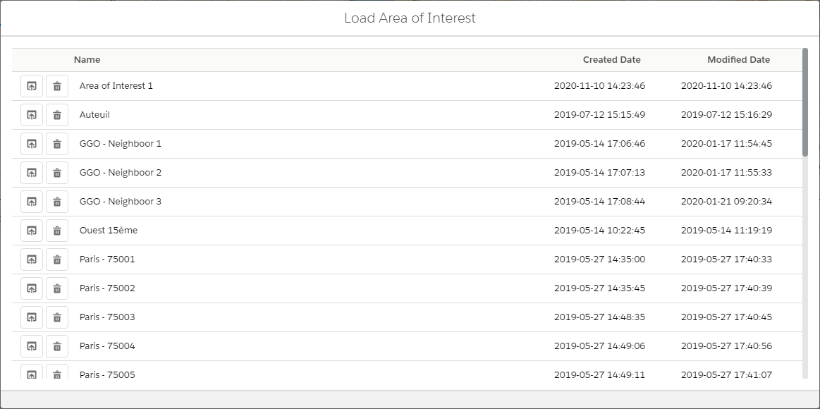
Loading a previously saved area is done by clicking on the ![]() icon to open a window listing all the available zones not yet loaded:
icon to open a window listing all the available zones not yet loaded:

A click on the ![]() icon in front of the area that is desired loads it, displays it on the screen and it is available in the area of interest tab.
icon in front of the area that is desired loads it, displays it on the screen and it is available in the area of interest tab.