Getting Started
This article describes the features of the geocoding component, integrated into the page layout of a Salesforce object (Standard or Custom). As part of this guide, we will use a custom object named “POS”. We assume that the configuration and integration of the geocoding component was done beforehand by a Salesforce administrator.
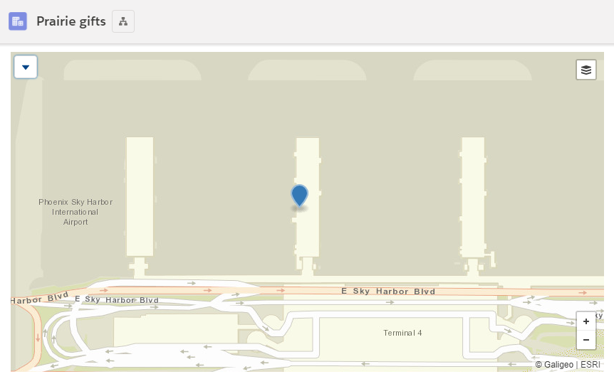
The geocoding component has a simple interface with:
Actions
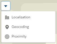
On the left, tools allow various actions:

Show location

Start the geocoding or correct it

Controls
At the bottom right, buttons to zoom on the map (can also be controlled by the mouse wheel) and basemap selection (top right).

